Ajo, AZ; Mar. 2 – 3
On Monday we packed up and moved from Benson, AZ to the small town of Ajo, AZ. Ajo is basically in the middle of nowhere, but is just a short drive north of Organ Pipe Cactus National Monument. The National Monument sits right on the border with Mexico in the Sonoran Desert.
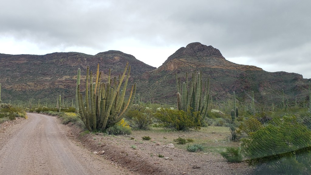
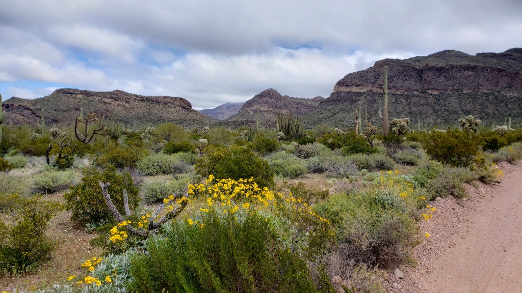
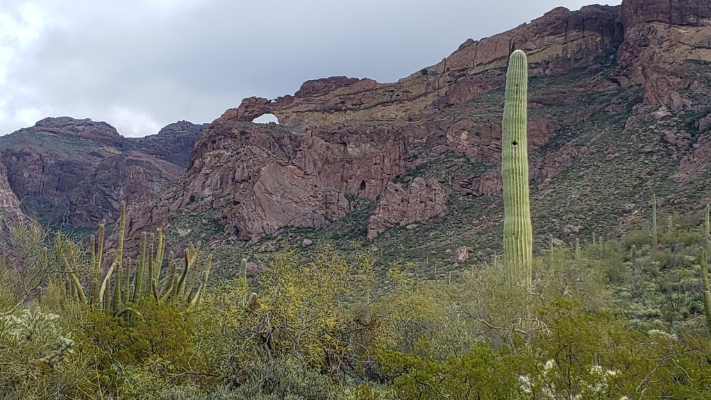
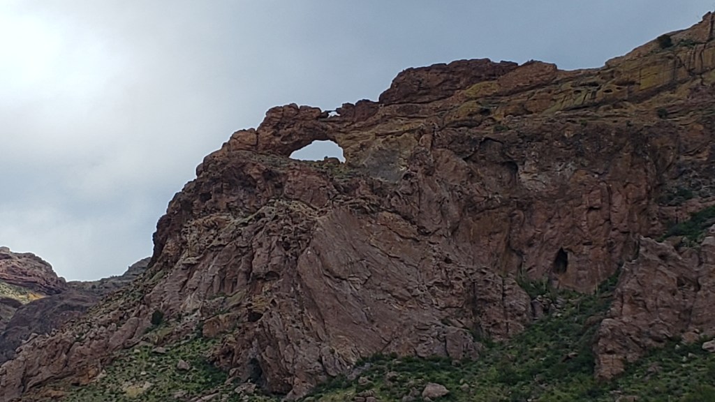
The visitor center had the obligatory video telling all about the desert and had a Cancellation Station so that Debbie could get her National Parks book stamped. We had a talk with a park ranger and decided to take the 21 mile Ajo Mountain Drive. The loop was graded gravel, with very rare stretches of old asphalt that was barely distinguishable from the dirt and gravel road. The drive included a lot of very impressive desert and mountain views. At about the midpoint, we found the parking area for a hike that was recommended by the park ranger.
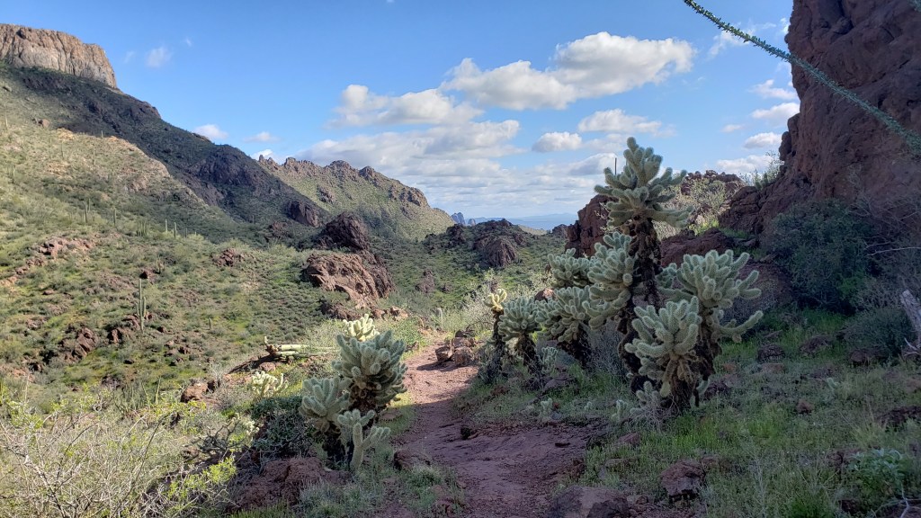
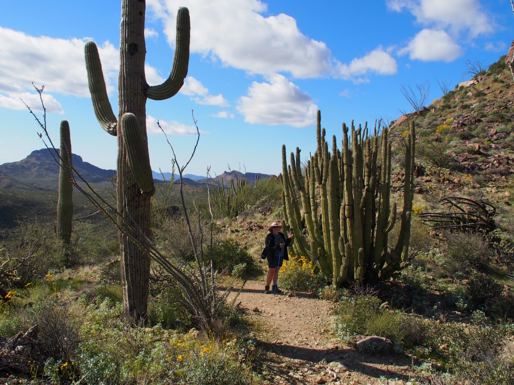
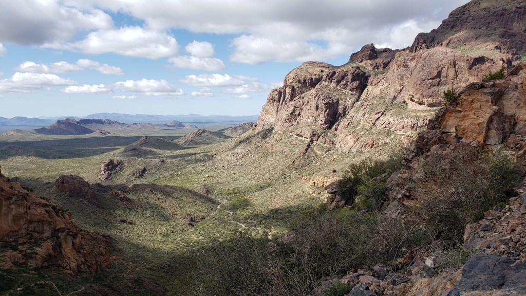
The trail was called the Estes Canyon / Bull Pasture Trail and was a total of 3.6 miles and gained about 950 feet in elevation. We started with the 1.5 mile Estes Canyon that began with a fairly flat 1.3 miles before ascending about 400 feet of mostly switchbacks over the last 0.2 miles. At that point, it joined the Bull Pasture Trail, which we took to the top of Bull Pasture. That out-and-back trail was 0.5 miles each way, but gained an additional nearly 500 feet of elevation. The views of the mountains and valleys below were amazing and you could easily see into Mexico from the top. Just before we reached the top, we met up with a group that had not only gone up to Bull Pasture, they went an additional 1500 feet in elevation to the top of Mount Ajo, the highest peak in the National Monument. After looking at it from our highest vantage point, we decided to leave that hike for another day.
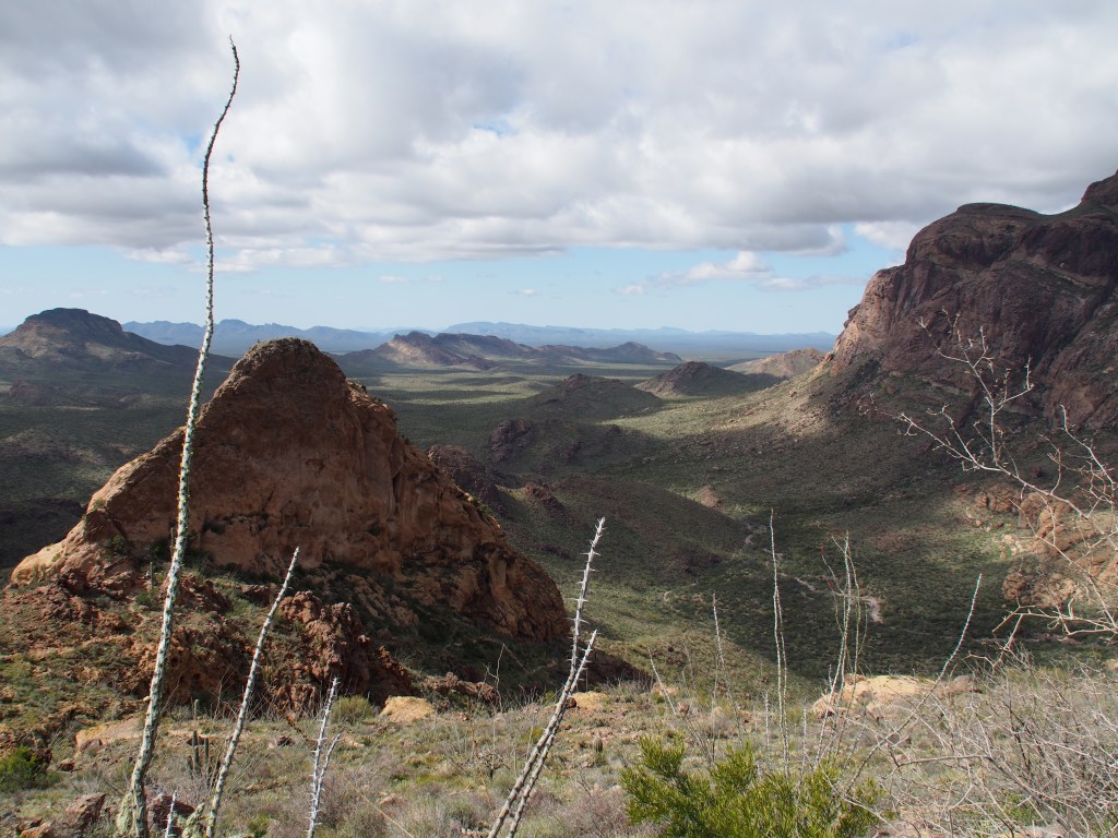
After soaking in the views from Bull Pasture (a name that I still don’t understand being that it’s at the top of a mountain), we began our decent back towards the valley below. Rather than retrace our path through Estes Canyon for the last 1.5 miles, we followed the shorter 1.0 mile descent along the remainder of the Bull Pasture Trail back to the truck. The views along that trail were completely different, but equally spectacular, as the Estes Canyon trail we had ascended earlier.
Once back in the truck, we continued on with the Ajo Mountain Drive. Along the way we saw many picturesque views of mountains, lots and lots of Organ Pipe and Saguaro cactus, Ocotillo bushes, and the strangely menacing Teddy Bear Cholla. A last stop back at the visitor center ended our journey through the park, after which we drove back to our home away from home. Tomorrow we’re off to Desert Hot Springs, CA and Joshua Tree National Park.